Satellite Tracking
for Evaluation and Analysis of Marinery
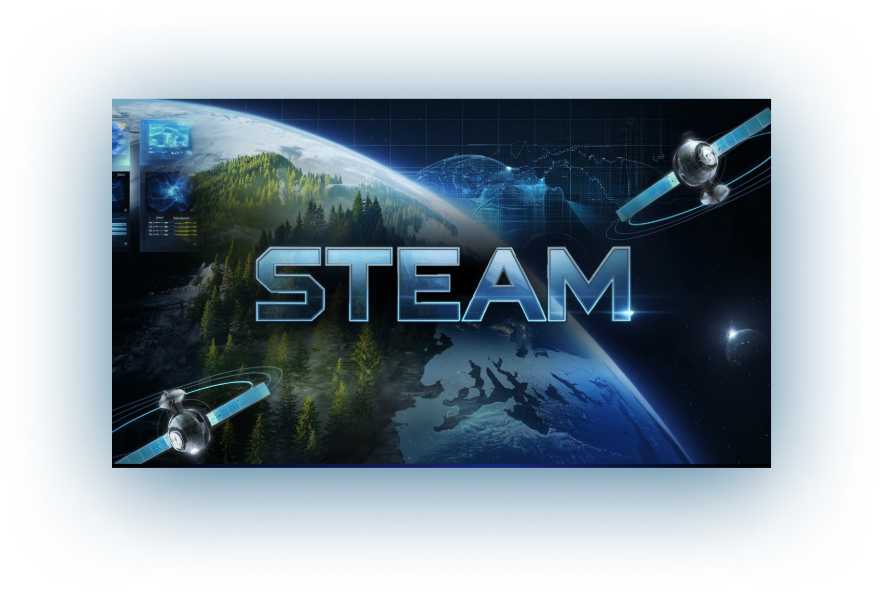
STEAM addresses the challenge of water pollution.
Combining satellite and HAPS data with machine learning to monitor, visualise, and report pollution levels across oceans.
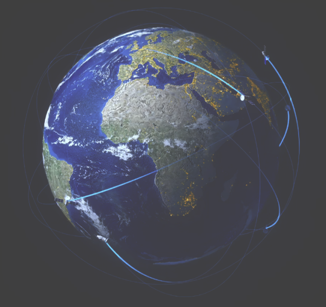
Heatmap Visualisation
Track water quality and pollution levels with interactive heatmaps.
- Colour-coded regions highlight affected areas.
- Detailed insights on hover or click.
- Time sliders to compare changes over time.
Why limit yourself to basic data visualisation?
Let us step up the game for you
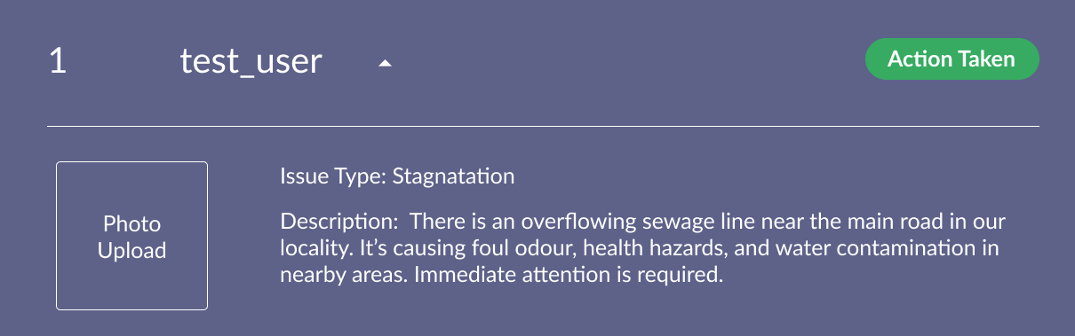
Register complaints through a personalised form
Empowering users to report water-related issues like pollution, stagnation, or contamination effortlessly.
Simply fill out a form with the location, issue type, and upload optional photos for better clarity.
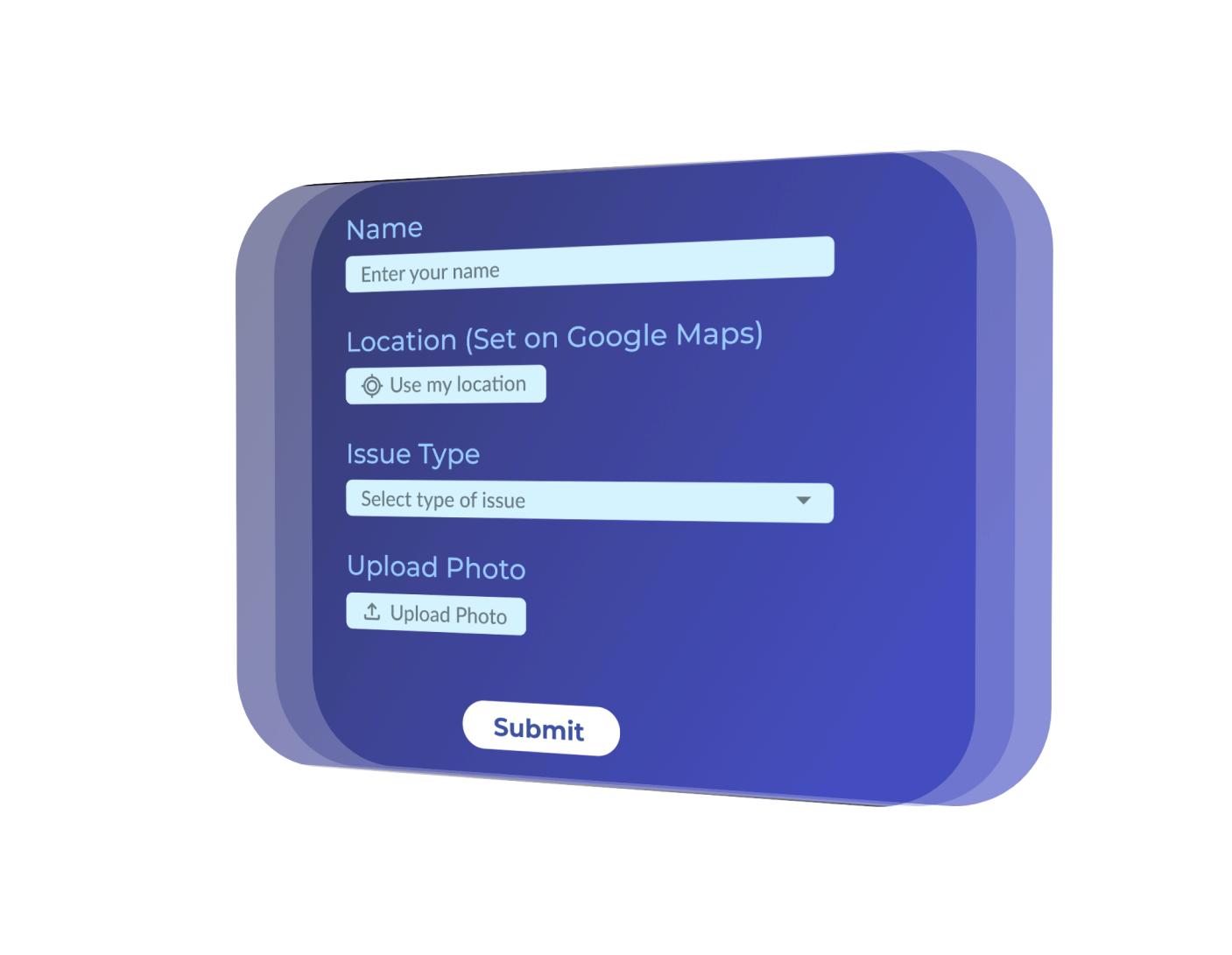
Register complaints through a personalised form
Empowering users to report water-related issues like pollution, stagnation, or contamination effortlessly.
Have further queries? Reach out to us
Stay informed, stay connected and protect what remains